YWY TECHNOLOGY PORTFOLIO
SLAMTEC
products.
LiDAR, autonomous mobile platforms and localisation technology.
Select a product picture to enlarge it. Open the matching datasheet, technical specifications or documentation below each product.
LiDAR sensors
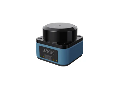
LPX-E3
Industrial LiDAR family with configurable area monitoring on supported models.
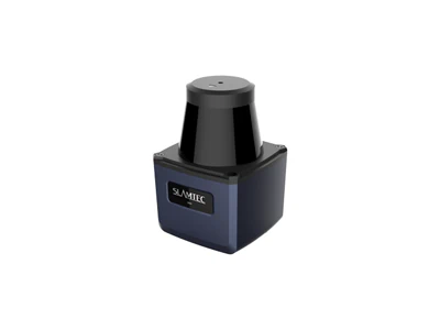
LPX-T1
Industrial scanning LiDAR for AGV perception, mapping and navigation.
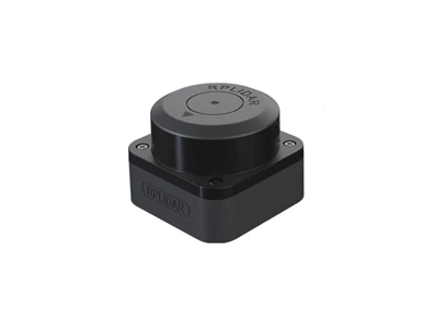
RPLIDAR C1
Compact time-of-flight LiDAR for 360° environmental sensing.
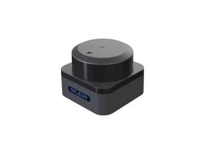
RPLIDAR S3
Compact long-range LiDAR for indoor and outdoor sensing.
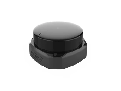
RPLIDAR S2
Time-of-flight family covering S2L, S2, S2P and S2E models.
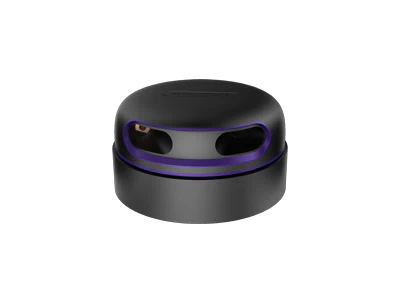
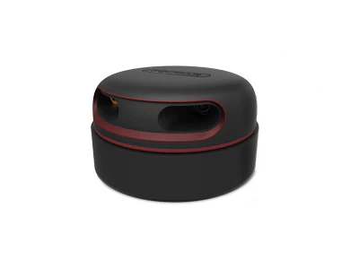
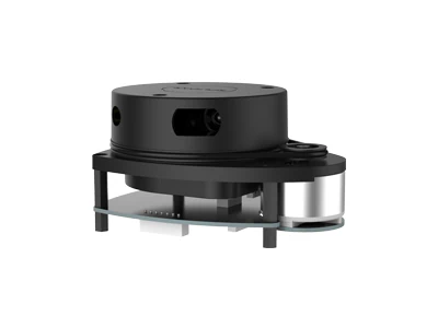
RPLIDAR A1
Entry-level 360° scanning LiDAR for localisation and development.
Mobile robotic platforms
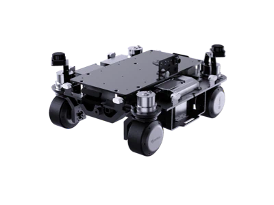
Poseidon
Omnidirectional base with independent wheel steering for embodied AI development.
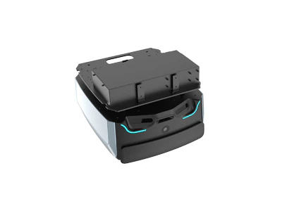
48V Hermes
Mobile base with 48V power and combined LiDAR and visual navigation.
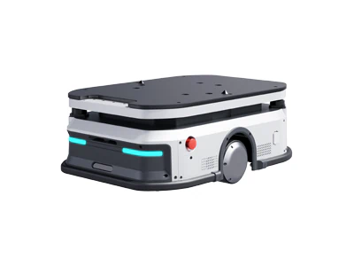
Phoebus P350
Industrial material-handling base with lifting and non-lifting configurations.
P4M11 / P4M21 reference datasheets: November 2024, revision 1.0. Check current specifications for the latest configuration.
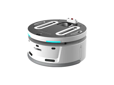
Apollo 2.0
Mobile platform using multiple sensors for autonomous navigation.
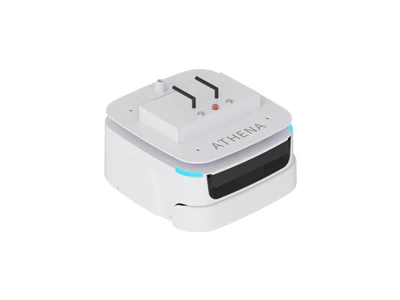
Athena 2.0 / Pro Max
Compact robot base family for narrow passages and cross-floor applications.
Athena 2.0 reference: N5M42-R3, June 2024. Pro Max PDF is labelled separately; confirm the required model when enquiring.
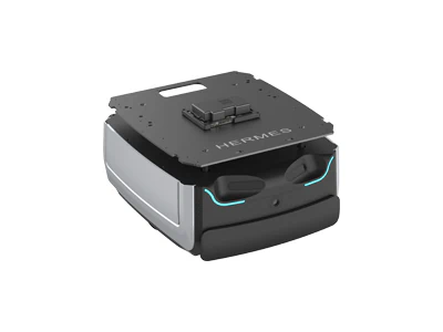
Hermes
Service robot base for delivery, inspection and multi-floor integration.
Standard Hermes reference PDF is dated 2021; Pro Max H5M15 is June 2024. Use current specifications for the latest configuration.
Localisation & software
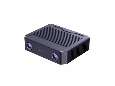
Aurora S
Integrated spatial perception with visual SLAM and scene understanding.
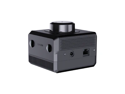
Aurora
3D mapping and localisation combining LiDAR, stereo vision and inertial sensing.
Reference datasheet: September 2024, version 1.0. Current specifications are linked alongside.
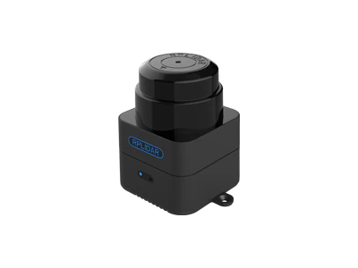
Mapper
Integrated 2D laser mapping and localisation for larger environments.
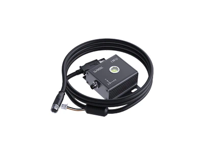
SLAMKit
Localisation and mapping solution for robot environment modelling.
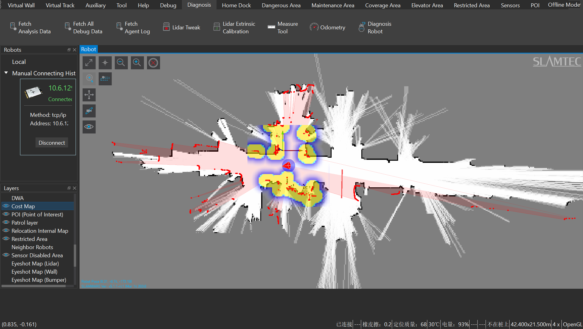
RoboStudio
Software for viewing robot data and managing maps, localisation and navigation.